Autonomous Navigation Tutorials
3D Mapping |
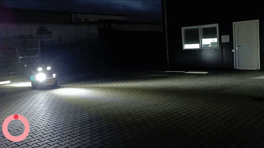
GPS Navigation Night Patrol |
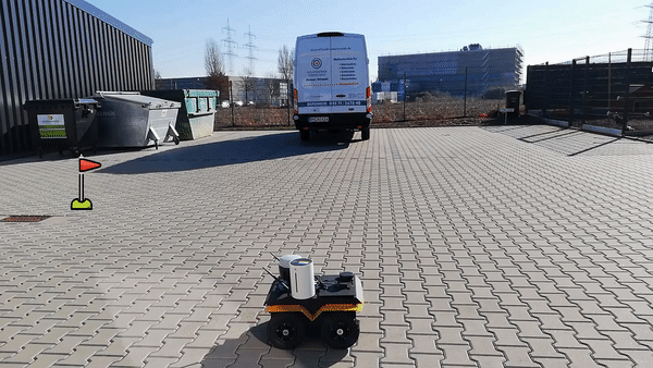
GPS Navigation Patrol |
The MYBOTSHOP Waypoint and SLAM package provides a sophisticated solution for navigation by leveraging point clouds derived from LiDAR sensor data. This package facilitates and augments movement across terrains of diverse elevations. Additionally, it offers the capability to store and employ 3D schematics. Complementing this, the GPS package enables precise point-to-point navigation using GPS coordinates.
Note
The Navigation Tutorials are provided for educational purposes only. The MYBOTSHOP team is not responsible for any damages. These tutorials are for provided robots and it is recommended to familiarize yourself with ROS before proceeding. Following are some resources to get started with ROS according to the robots that are provided: ROS Noetic | ROS Foxy | ROS Humble
Important
For more information on the MYBOTSHOP robots, please refer to the MYBOTSHOP website. For information on the MYBOTSHOP ROS packages, please contact the MYBOTSHOP team at info@mybotshop.de. For training, please refer to the MYBOTSHOP Docs Trainings section.